


August 11th, 2024Tackling the flood risk in Ballarat
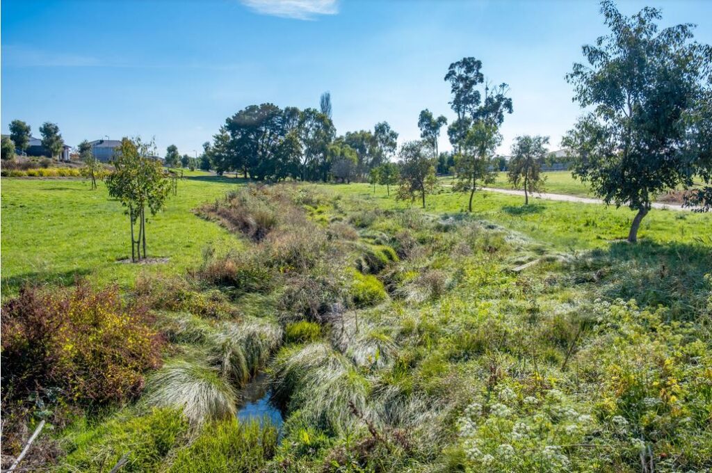
The City of Ballarat is assessing community feedback gathered during the recent flood modelling mapping consultation to help complete the final report.
The flood modelling is intended to better understand the effects of flooding on properties throughout the municipality and is the first step in a bigger sequence of works at the City of Ballarat.
The mapping helps the City of Ballarat to better understand the current landscape, and therefore identify and update flood-prone areas so it can continue to invest in ongoing infrastructure to mitigate the risk.
From this modelling, several projects will be added to the City of Ballarat Capital Works program to manage storm water and help reduce flood risk.
Flood protection across the City of Ballarat is a continuous process, most recently highlighted by a $5 million investment to create a water drainage basin at MR Power Park in Sebastopol, which will be able to hold up to 30,000 cubic metres of storm water.
The City of Ballarat is also preparing the Miners Rest Flood Mitigation Plan and undertaking dam wall projects in Buninyong.
City of Ballarat Mayor, Cr Des Hudson said it was great to see such an engaged group of people participate during the consultation.
“I understand the community’s interest in this mapping, and appreciate their concerns raised,” he said.
“This flood mapping process is just the start of helping us identify opportunities to develop infrastructure that mitigates the risk of flooding in the first place.”
During recent consultation sessions concerns were raised from community members regarding impacts on development, and that the modelling may inhibit future opportunities.
However, this flood mapping is not about stopping development in these areas but providing more accurate information to developers and landowners in the initial stages to better consider their design proposals.
Questions were also put forward about the impact this modelling may have on private insurance premiums.
Once finalised this flood mapping should have no impact on insurance premiums or home valuations. Insurance companies use a separate up-to-date system (the National Flood Information Database) to assess flooding risks rather than flood overlays developed by Local Governments.
City of Ballarat officers are now working through this round of community feedback and will continue undertaking further consultation in the coming months before a report is expected to be presented to the Ballarat City Council in early 2025.
Words & Image: Supplied

July 1st, 2024Mapping Ballarat’s flood risk
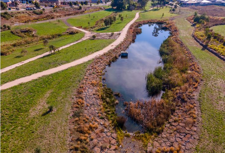
The City of Ballarat is updating its flood modelling and mapping to help introduce controls for land use and development on flood prone lands.
In 2018 the City of Ballarat began preparation for a Planning Scheme Amendment to introduce Flood Overlays for 11 Waterways within urban Ballarat.
The City of Ballarat Council Plan 2021 – 2025 identified a need to better understand the effects of flooding on properties within the municipality and introduce appropriate planning controls so that residents are informed and equipped to manage flooding should it occur.
Planning has been underway, with external experts identifying the flood extents and depths for eleven waterways across Ballarat:
- Yarrowee River
- Gnarr Creek
- Canadian Creek and tributaries
- Bonshaw Creek
- Redan Creek
- Kensington Creek
- Chase Waterway
- Little Bendigo Creek
- Hit or Miss Gully
- Warrenheip Creek
- Ryans Drain.
This flood mapping will also influence the City of Ballarat’s flood mitigation works in the future.
City of Ballarat Mayor, Cr Des Hudson said this modelling will assist in better understanding of flooding effects in certain areas across the municipality.
“The flood mapping of these waterways is an enormous task, that will assist planners, developers and landowners to mitigate flood risk and ensure development is undertaken safely in flood prone areas,” he said.
“I urge the community to view the mapping on our MySay page to familiarise themselves if their property is in a flood risk area.”
The full mapping will be available for review at the City of Ballarat’s MySay page, until 15 July 2024.
Following consultation a report will be put forward to Ballarat City Council for consideration of a planning scheme amendment process to introduce flood controls for land use and development on flood prone lands.
Words & Image: Supplied