December 10th, 2024Walks of the Central Highlands
with Eve Lamb

Clunes Original Homestead Creekside Walk. Loop. Distance 4.5 km.
This is one of my fav Clunes walks. It’s a slight adaptation of a loop walk that appears in a newly released brochure detailing several choice walks and saunters in and around the Clunes township. More on that later.
For this 4.5km loop my trekking accomplice Paddy H and I start out in Collins Place (adjacent to The Clunes Warehouse). We turn left and head roughly north along the town’s main (Fraser) street, until we reach Templeton Street where we turn right (east) and walk straight toward the Creswick Creek.
Once we reach the creek we turn left and make our way toward the timber-decked footbridge, less than 100 metres on, that takes us over the creek.
After crossing the footbridge we turn left and follow the creekside walking path roughly due north for a short way before turning left into the bottom of Scenic Drive to cross over the creek ford.
Once across the ford we turn right and head roughly north alongside Blackmores Road, again following the creek to take in the Blackmores Road Park. With its magnificent old National Trust significant elm trees, established gums and old fashioned picnic tables this little creekside park is surely one of the most underrated around. It is the perfect place for a picnic or barbecue.
Paddy H and I opt for a coffee break and then walk on to the end of the Blackmores Road Park. Here, we make our way up onto Blackmores Road and continue heading north-ish along the road parallel to the creek that’s to our right.
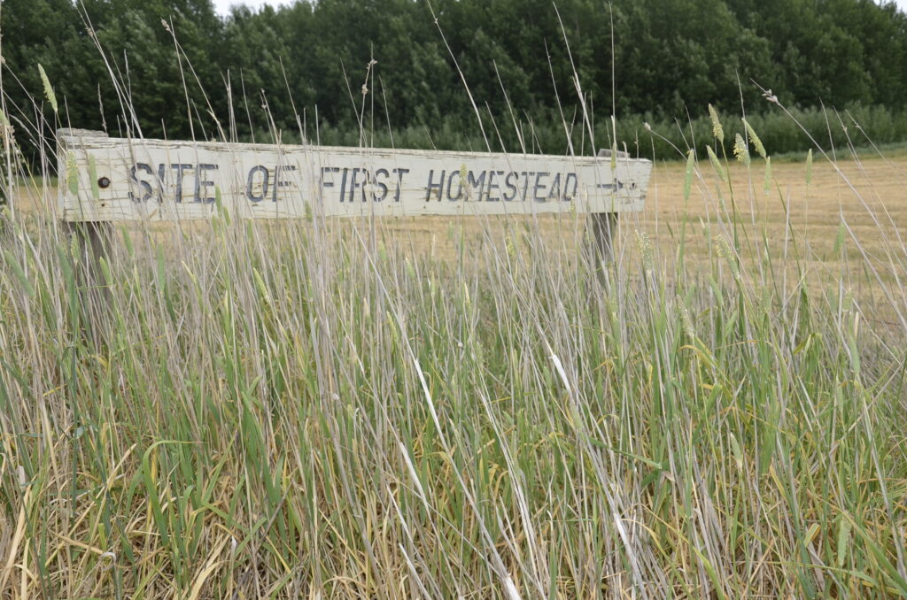
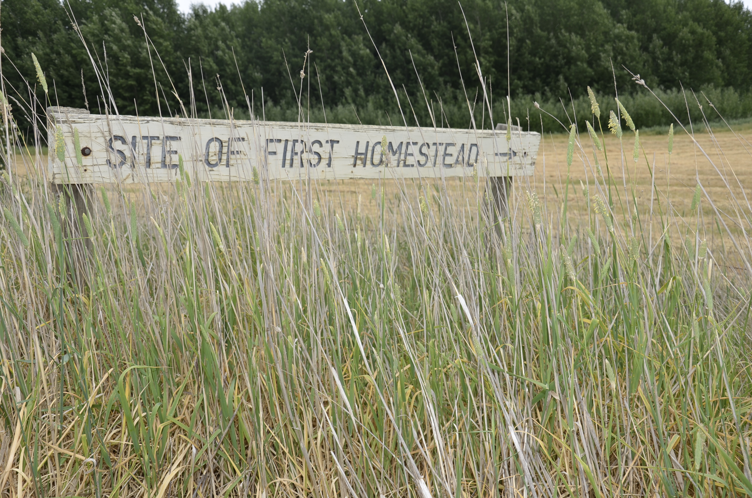
After about half a kilometer, in a paddock to our right we see the weather-beaten sign that IDs the site of the town’s original homestead.

Scottish-born Donald Cameron, the original squatter, built his homestead in 1839. The Clunes Museum has a painting of the Cameron Homestead and the State Library of Victoria has a watercolour of the Station of Donald Cameron JP Esq done around 1844-1847 and available to view on Trove.
We continue on along Blackmores Road for another couple of hundred metres or so until just past the 40km advisory sign where Blackmores Road ends and sweeps up into Alfred Road. We instead turn right, taking a very short unmade track that leads down to a small steel footbridge to cross the creek.
I should mention here that we’ve seen quite a bit of wildlife at this point including a black kite, a black-shouldered kite, a family of grey fantails, and I strongly suggest that when doing this walk in the warmer months you keep a watchful look out for snakes when moving alongside the creek.
Anyway, back to the bridge. It’s a great little lesser known reach of the creek here, meditative just to stand and take in the scene. Once across and on the other side of the creek, if you haven’t already tuned in properly, the landscape now commands attention with its undulations and sweeping wide sky vistas.
The track weaves through an impressive patch of native poa tussock grass, heading roughly due east before we turn right into Station Flat Road, and begin heading along the creek back toward the township.
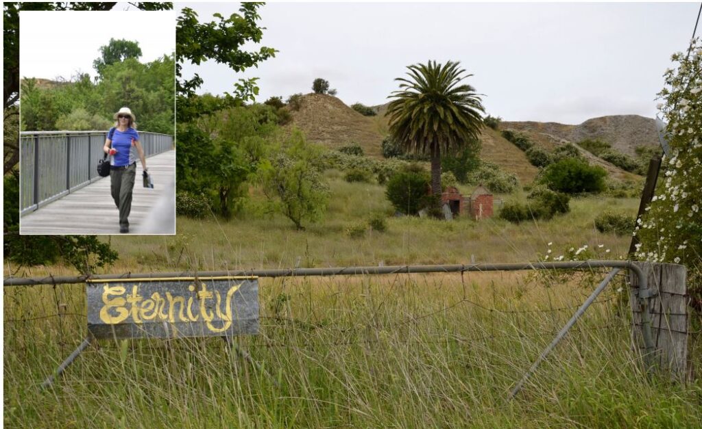
Clunes is a unique place (as you know) and one of the evocative things about it is the quirky Eternity sign to be spotted as you meander along Cattle Station Flat Road. There it is, painted in a kind of faded lemon yellow in a flowing yesteryear cursive script and afixed to a rusty gate that leads to … well eternity really.
I love this walk, too, for the landscape right here with its remnant mining mullock heaps plus palm tree. Makes you feel like you might be in Egypt or somewhere else fairly exotic… which of course, you are.
We continue along Station Flat Road, passing historic relics of the Port Phillip Gold Mine, until we again reconnect with the bottom of Scenic Drive. To neatly complete this walk you could either cross the ford again and turn left to take in the far end of Fraser Street headed back to Collins Place. Or you could just keep ambling along creekside for a beautiful leafy end to the loop, back across the first footbridge.
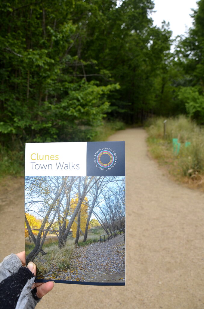
This walk is very similar to the ‘Original Homestead Walk’ included in the new Clunes Town Walks brochure that was produced as a collaboration between Clunes Neighbourhood House, Creative Clunes and the Clunes Tourism and Development Association.

The new brochure details four good local ambles ranging from 1.5 km to 4.5km in length: the Clunes Creek Walk , Eighteen Miners Steps Walk, Gold Mines Walk and the Original Homestead Walk. It comes complete with historic insights, a handy map and QR codes giving extra info for each walk.
Clunes Neighbourhood House manager Lana de Kort says the Clunes Town Walks brochures can be picked up free of charge at various retail outlets throughout the town, and other outlets like the Neighbourhood House.
Words & Images: Eve Lamb


